
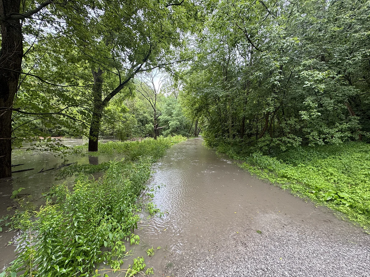
A brief but heavy rainfall on August 10, 2026, produced more erosion and stream overflow in the Vale, underlining the importance of the work that is planned with the Vale of Avoca Improvement Project.
In just under an hour, we saw a rainfall accumulation of 3.8mm*. The video footage and images here show the impact of elevated storm flows at various reaches along Yellow Creek, starting from the elbow turn at the mill below Inglewood (on the east side of the ravine). In a number of areas, the flows breached the established stream banks, causing more erosion to the already deteriorated banks. In the rebuilt channel configuration in the Summerhill Gardens area, the stream flows approached but appeared not to exceed the channel top.
In the southern section of the stream, there was flooding that overflowed the creek-side trail temporarily – as we have seen before. On this occasion It appeared to be the result of a blockage in the culvert that takes Yellow Creek back underground at its southern end. Within half an hour the accumulation of water broke through the blockage and the flooding dissipated quickly.
It’s interesting to note that in July, City workers had worked on clearing accumulated debris from the outflow culvert, but despite those efforts the culvert was temporarily blocked yet again by the extreme water flows we saw on August 10. This points to the ongoing need to review the channel configuration – including the culvert – in the course of the Vale of Avoca planning efforts underway via a partnership with the City, the TRCA, Toronto Water, Parks and Recreation and the Midtown Ravines Group, the latter of which the DPRG is a member.
*Source: TRCA measurement from monitoring station at the Brickworks.
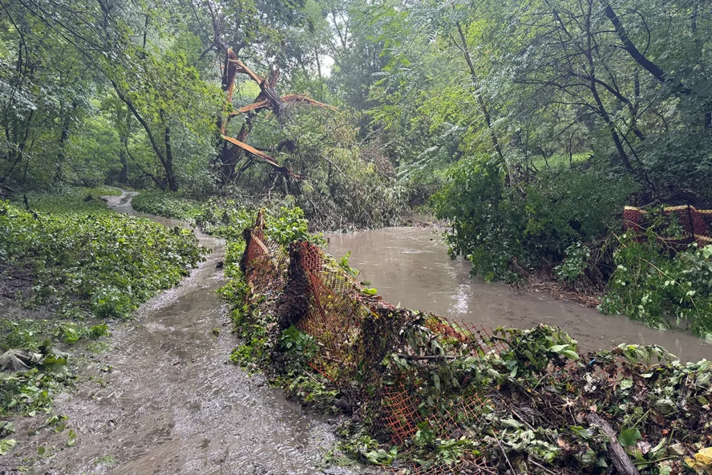
Photos and video: ©2026 Tom Connell, MRG